
Write something
Jul 9 •
Do you need Ground Control Points (GCPs) in Ag Elevation
If you’ve done any research into drones collecting elevation almost all resources, drone distributors, and even processing software companies will all tell you you need GCPs to do elevation even if your using RTK or PPK corrections while collecting data. This is a misconception due to the aforementioned entities not understanding agriculture elevation collection workflows currently used today with RTK-GNSS (GPS) Equipment. If you’re using an RTK or PPK drone system like a Phantom 4 RTK, M3E, M4E, Ebee X, or Wingtra One you do not need ground control points. However, if your using a older system like a phantom 3 or 4 with no PPK corrections antenna attached then you will need GCPs. Agriculture Elevation collection needs absolute horizontal accuracy within a couple of tenths, but vertically it only needs relative accuracy. There is no need to use a GCP to bring the data set to an absolute accuracy mean sea level elevation, which is the sole purposes of a GCP. If you’re working in engineering or land surveying this is the common practice because it’s used to come back multiple times and maintain the same vertical numbers constantly. However, Agriculture fields change year to year from half a tenth to even two tenths depending on rainfall, erosion, harvest conditions, planting conditions, and tillage equipment used to correct imperfections. If you plan on using drones for agriculture elevation you need a NTRIP connection or a way to log static data and the EMLID Reach RS2 or newer is the most cost effective receiver to achieve these results. I’ve been using one since 2023 due to my NTRIP connection dropping intermittently throughout the flight in 2022 when connected directly to the drone. Have you wanted to get into drones for this purpose but stayed out switching because you were told you need Ground Control Points? This fallacy is due to an mis understanding on agriculture elevation collection compared to all the other industries that use elevation. What are your thoughts and reasons on why you haven’t used drones in agriculture elevation collection in your business?
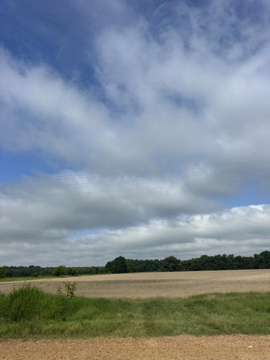
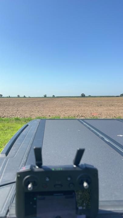
Jul 17 •
Landforming Season is upon us!
Agriculture Landforming Season finally getting dry! So that means grounds being worked and drones are collecting elevation data to make those control files for Agriculutre GPS Equipment! It’s a toasty day here in Arkansas at 10am! Stay hydrated!
0
0
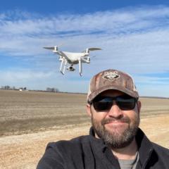
Jun 10 •
Relative Elevation in Ag
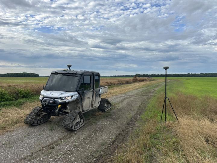
Agriculture Elevation Mapping for irrigation, drainage, and even landforming is all operated off of relative elevation. A base is set on an unknown point around the field being mapped. From there a rover collects elevation or provides a reading relative to the bases location. This practice is commonly used through ground marking/surveying; however with a drone you need real world horizontal accuracy without the need of real world vertical (MSL) which is the common purpose of ground control points (GCPs). The “Hybrid” method as I like to coin it is setting a base location using NTRIP corrections prior to flight with a EMLID receiver or doing a PPK method of processing. How relative can the base be? I’ve collected elevation on over 90,000 Acres across 3 years doing this right here!
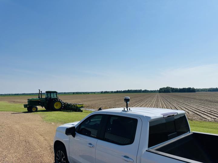
Jun 12 •
Old School Way
When it’s too wet to work the ground.. Too much vegetation for drones for accuracy needed.. Too much rain in future forecast.. Even crop dusters in the same area.. We gotta go old school with collecting elevation in Ag.
0
0
1-7 of 7
skool.com/agriculture-mapping-school
This group is focused on Agriculture Mapping, where elevation is used for production agriculture, specifically irrigation, drainage, and land forming
Leaderboard (30-day)
1

+1
2

+1
Powered by