Jun 12 • General discussion
Old School Way
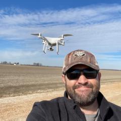
When it’s too wet to work the ground..
Too much vegetation for drones for accuracy needed..
Too much rain in future forecast..
Even crop dusters in the same area..
We gotta go old school with collecting elevation in Ag.
0
0 comments
Old School Way
skool.com/agriculture-mapping-school
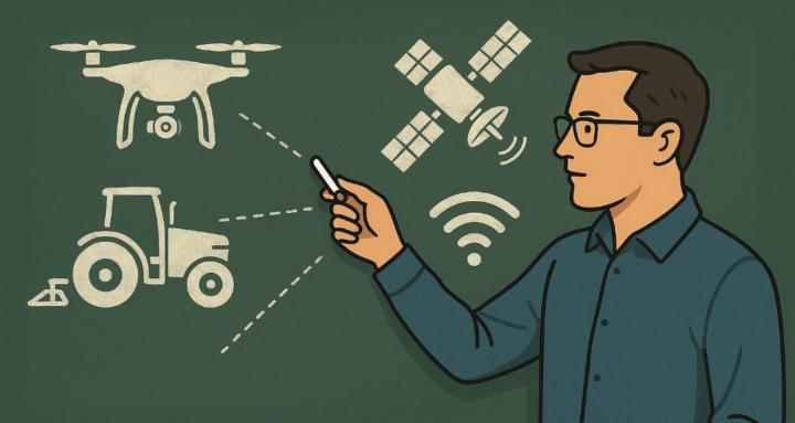
This group is focused on Agriculture Mapping, where elevation is used for production agriculture, specifically irrigation, drainage, and land forming
Leaderboard (30-day)
1

+1
2

+1
Powered by