01. Ag Mapping School Intro
Background on the Agriculture Mapping School, and what to expect from the courses listed.
0%
Private Course
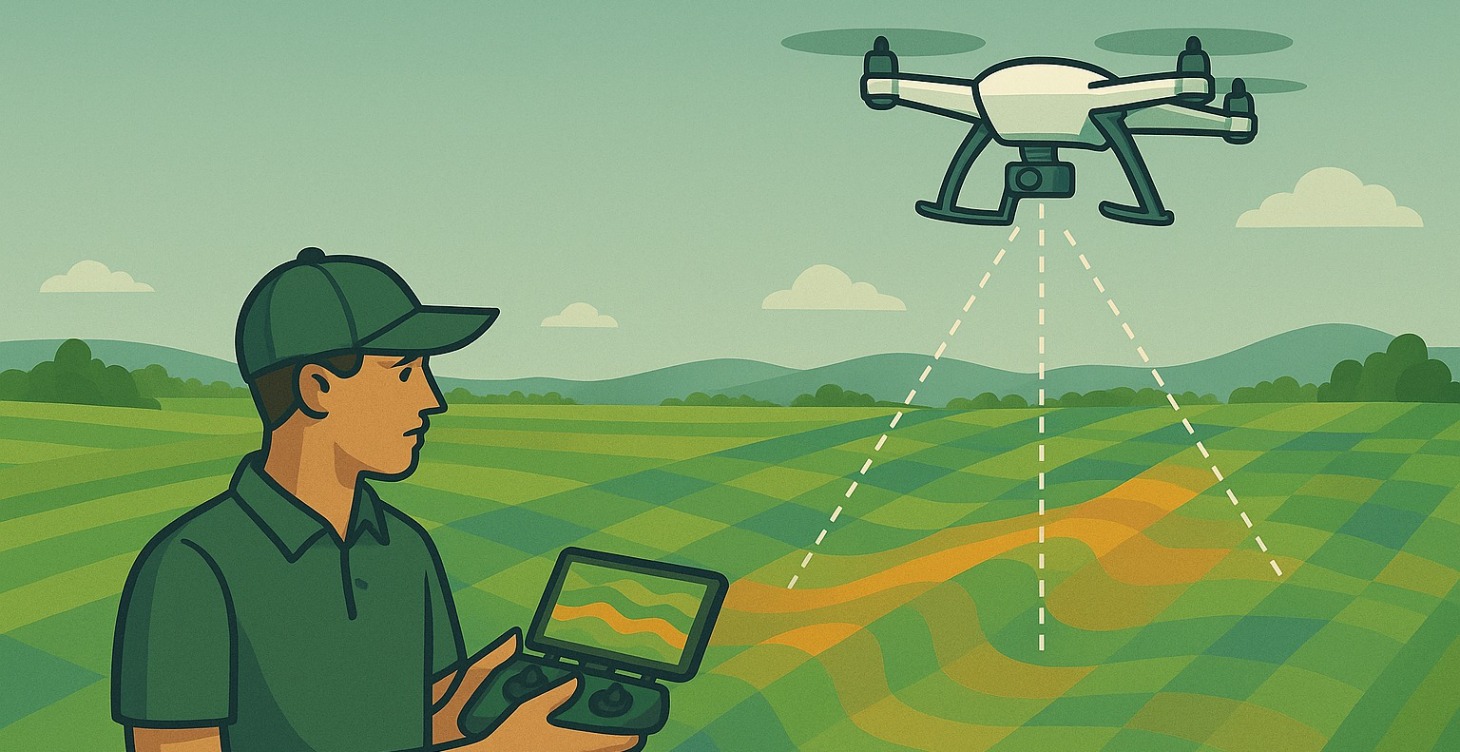
02. Intro to Ag Elevation
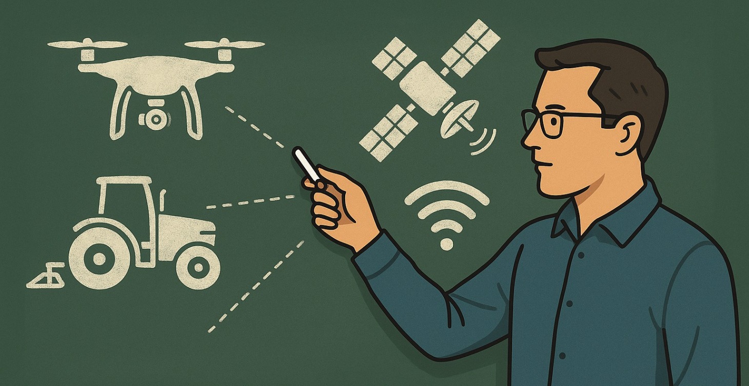
This course offers an in-depth review of current agricultural elevation mapping practices, use cases, and how the integration of drone technology, combined with agriculture software, can enhance efficiency in irrigation and drainage for farming communities worldwide.
0%
Private Course
03. Ag Elevation with Drones
This course will break down the hardware, software, flight settings, and costs associated with Agriculture Drone Surveying. Additionally, we will discuss the steps and software required to go from drone to tractor, providing value to farmers who utilize GPS-enabled guidance systems.
0%
Private Course
04. Implementing Drone Elevation in Ag
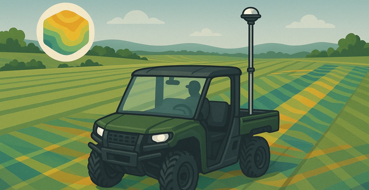
For experienced ag practitioners, you will learn how to collect elevation data with both RTK and PPK drone technology, process it, and import it into various agricultural design softwares. This course is designed for individuals who already have experience with their preferred agriculture software and wish to integrate drone technology into their daily workflows.
0%
Private Course
05. Mastering Ag Elevation with Drones
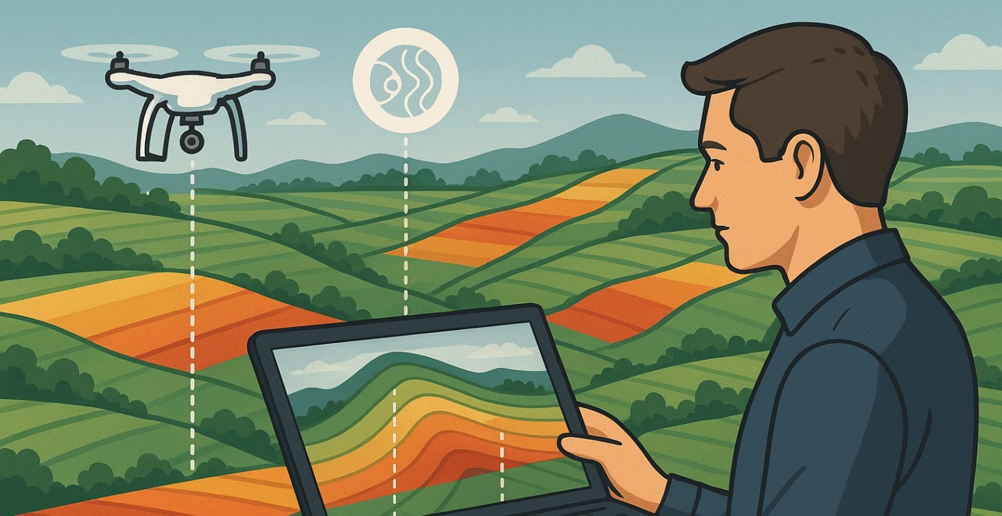
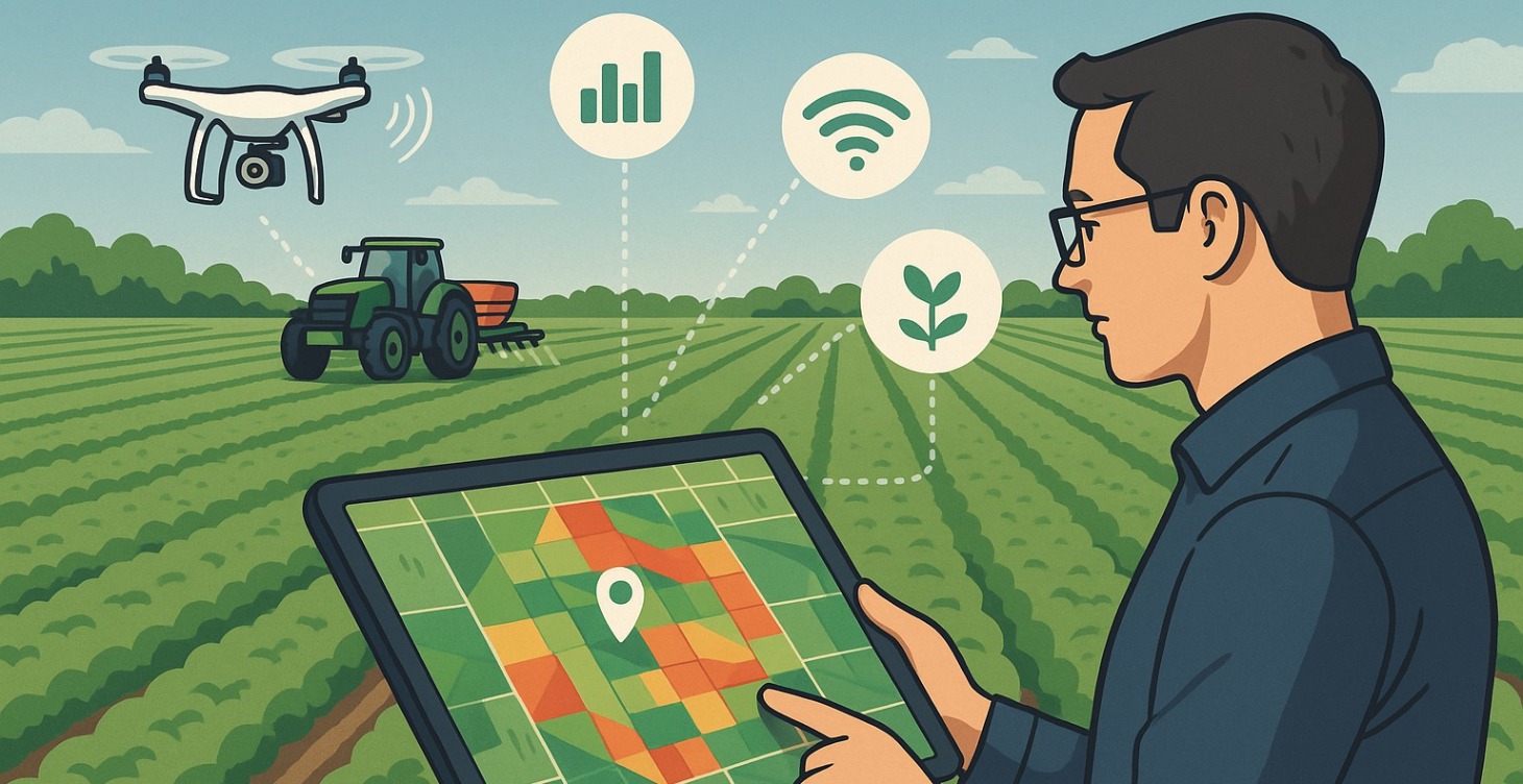
This Masterclass will provide you with all the tools, knowledge, and understanding necessary to run a successful agricultural survey business for your agricultural communities. By collecting, processing, and interpreting data, you will provide a valuable service to farmers and agricultural practitioners in your area. In addition to using elevation, you will learn extra ways to earn income in the farming community, including display management, plant health mapping, and irrigation design.
0%
1-5 of 5