26d • CORE TRAINING
Land Navigation Module 0
I live in grid square 19T 4195 and my observation point is at the end of my road that ends at the highway. Coordinates 19T 413954 or more completely 19T 34125E 47954N. Due west from my location is Hayes Hill near the margin. To the southeast is Haven Hill. I can see water towers and airport lights on both hills. I am partway up Rochester Hill and there is a drainage divide directly behind me where runoff goes northeast past my house to the brook along the railroad. From where I am standing the runoff goes northwest down the hill to Willard brook. The open field across the highway from me is a great view into a wood lot where there are many trails through the tree farm. The woods to the east of the tree farm are very thick with multiple brooks that show up on the map but the contours don’t really show the steep ravines. There is low ground where the runoff from the tree farm crosses the local road. The hill to the southeast of me has rounded contour lines and the elevation near the peak of the hill is 400 feet. The map that I made has both UTM Coordinates and Latitude / Longitude documented in the margins and the scale is 1:24,000 or one-inch equals 2,000 feet. The declination in my area is -14.2 degrees, that is to the west.
Movement would be easiest through the field and then trails in the tree farm. It would be more difficult in the woods to the east of these features. Visibility across the field is great. To move undetected at night I would use the RR tracks as a handrail. The most light and generator power are at the hospital and both nursing homes that are adjacent.
I will add a comment regarding the reflection.
3
2 comments
Land Navigation Module 0
powered by
skool.com/wilderness-mastery-school-3134
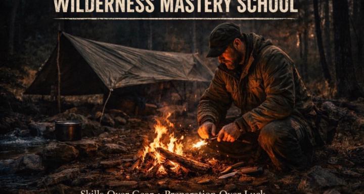
Wilderness Mastery School: Green Beret-led survival training. Fire, shelter, water, navigation, first aid. Weekly challenges.
Suggested communities
Powered by