Jun 8 • General discussion
Welcome! Introduce yourself + share a pic of your technology🎉
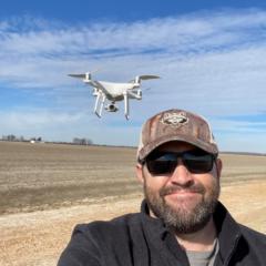
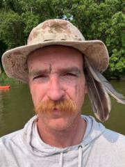
Let's get to know each other! Comment below sharing where you are in the world, a photo of your technology, and how you use it to make money weekly. 😊
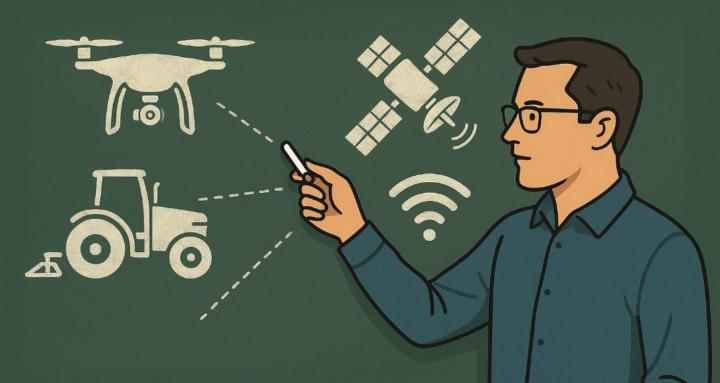
This group aims to introduce innovative methods for enhancing efficiency and precision in agriculture through the use of drone technology. The majority of classwork and discussions will focus on elevation and its applications in agricultural practices. Additionally, you will learn about various GPS technologies, mapping capabilities, and how to be a well-rounded Agriculture Mapping Technician, providing essential services in your agricultural communities in the future.
Below is a picture of all my drone technology from 2019 to the present, all of which has been used exclusively for agricultural purposes.
0
5 comments
Welcome! Introduce yourself + share a pic of your technology🎉
skool.com/agriculture-mapping-school
This group is focused on Agriculture Mapping, where elevation is used for production agriculture, specifically irrigation, drainage, and land forming
Leaderboard (30-day)
1
+1
2

+1
Powered by