The Survey Toolbox

Private
1 member
Free
🚀
The Survey Toolbox is a free community where you can learn surveying from a licensed professional.
What's inside ⬇️
✅ Field Basics: leveling, total stations, topo and stakeout
✅ GNSS & RTK: base and rover, network RTK and PPK
✅ Drone Mapping: ground control, processing and deliverables
✅ Reality Capture: iPhone LiDAR, SLAM and laser scanning
✅ Civil 3D, real project breakdowns and career advice
Bonuses 🎁
🎁 Printable checklists you can take out in the field
🎁 Get help from surveyors, drone pilots and scanning techs
🎁 New videos get added as I release them
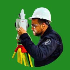
Hi, I'm Rami Tamimi. I'm a Licensed Professional Surveyor and I've been making surveying videos on YouTube for over 6 years. I was introduced to surveying from my dad, and now I want to help educate the next generation of surveyors.
Whether you're brand new to surveying, a drone pilot or a licensed professional, there's something in here for you.
Go ahead and join for free. I'll see you inside.
powered by

skool.com/the-survey-toolbox-2326
Learn surveying from a licensed professional. Free field checklists and 100+ videos on GNSS, drones, LiDAR scanning and Civil 3D.