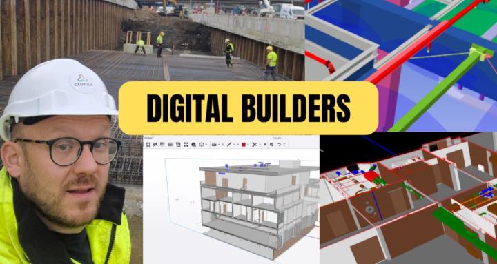
From Point Cloud to Revit — London Victorian Residence
📍 59 Addison Rd, London, England
Victorian-era residential property — 522 sqm of complex geometry, multiple rooflines, bay windows, and a rear conservatory extension. Not the easiest scan-to-BIM job, but that's exactly what makes it interesting.
Data captured via point cloud + 360 imagery + street view references, then processed through ReCap and modeled in Revit from ground up — floor plans, all four elevations, sections, and a full 3D model rendered in Enscape.
The challenge with older UK properties like this one is the irregularity — nothing is perfectly plumb or square, and the scan data tells you that immediately. The model has to reflect reality, not idealize it.
Coordinates: 51°29'56.32"N, 0°12'27.22"W
Tools: Revit · ReCap · Enscape
#ScantoBIM #PointCloud #Revit #RealityCapture #BIM #LondonArchitecture #AsBuilt #Enscape #ArchitecturalDocumentation #LIDAR
0
0 comments

From Point Cloud to Revit — London Victorian Residence
powered by
skool.com/bim-coordination-academy-6993
From site to system learn BIM, tools & real workflows to build smarter, connect teams, and deliver better projects
Suggested communities
Powered by