Activity
Mon
Wed
Fri
Sun
Sep
Oct
Nov
Dec
Jan
Feb
Mar
Apr
May
Jun
Jul
Aug
What is this?
Less
More
Memberships
The Photography Workshop
45 members • Free
Camera To Clients 📸 🎥 🚀
623 members • Free
Automotive Photography
62 members • Free
Street Photography UNLEASHED
114 members • Free
Photography
585 members • Free
Quantum Dynamics Drone Academy
167 members • Free
sUAS Program Managers
102 members • Free
4 contributions to sUAS Program Managers
Apr '25 •
Your Program...
Tell us about your program... (Mission types, systems used, problems or lessons learned you may have etc)

2 likes • Oct '25
Hey everyone, I run O-Valor Aerial Services, part of O-Valor Media Group, specializing in professional drone operations, 3D mapping, and cinematic aerial production. Mission Types: My projects range from real estate aerials, 3D mapping, roof inspections to cinematic FPV fly-throughs for commercial clients, and creative aerial photography. I also work on creative storytelling and branding content that blends ground and aerial footage for a complete visual experience. Systems Used: I currently operate a DJI Air 2, DJI FPV, DJI Avata 1 and HoverAir X1 and software such as Litchi, AirData UAV, and Metashape for photogrammetry workflows also getting into 3DGS. Challenges & Lessons Learned: One of the biggest lessons I’ve learned is that pre-planning is everything from verifying weather and LAANC clearance to checking lighting and angles for cinematic consistency. Balancing creative work with FAA compliance and client deliverables has helped me build a structured, repeatable workflow. Program Goal: To continue expanding my sUAS program into advanced 3D modeling, mapping accuracy, and aerial data solutions while maintaining the cinematic edge that defines what I love to do and my business.

2 likes • Oct '25
Hello everybody, so I currently fly the following drones DJI Air 2, DJI FPV, DJI Avata, BetaFPV Meteor75 (Analog) And I really would love to get into more Enterprise drones like the Matrice and Inspire The reason is I am starting to do more professional work and I am doing great with what I have but those drones are more for the jobs that I have been doing like roof inspections, 3D Mappings, commercial’s, ect
Oct '25 •
Taking your Part 107
How long did you study for you Part 107? How did you do on the test and what would you have done differently to prepare? I look forward to everyone’s answers!
1 like • Oct '25
Hi everyone! on May 29, 2025. was the exact date I took the FAA Part 107 test and passed on the first try. If I could give any advice, it’s to really focus on Part 107 only make it your priority and only focus on that. I’ve seen many people fail this test, and it’s totally normal to struggle. But I was determined not to fail, so I studied for about five months and downloaded the Part 107 test app. I didn’t do anything else, and it paid off! Another tip I’d love to share is Ariel Maps. I think that was the biggest section of the test and the hardest part. Make sure you learn how to read the map and interpret everything on it. And you should be just fine, just like I was!
Jan '25 •
Intro’s Here…..
This is gonna be the go to spot for your introductions. As we grow there will be a lot of different experience and backgrounds. Take a look through the intros and find someone that has similar interests and start awesome discussions.

1 like • Oct '25
This is from my latest creative collection. This is in Providence, Rhode Island Rogerwilliams Park a nostalgic timeless peace is what I wanted to portray in this edit.
1 like • Oct '25
This is some cinematic footage. Location would be Providence, Rhode Island. The subject is the State House in Providence, RI.
1-4 of 4
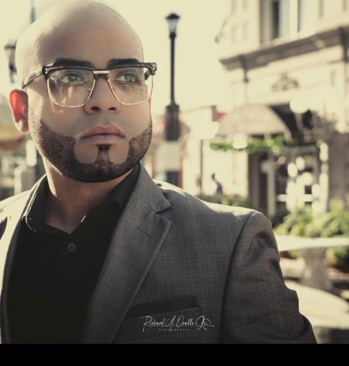
@richard-ovalle-jr-3769
IT expert, FAA drone pilot, and multimedia creator. Turning vision into action across tech, art, and business
Active 171d ago
Joined Oct 9, 2025
Cranston, RI